Civil War Map
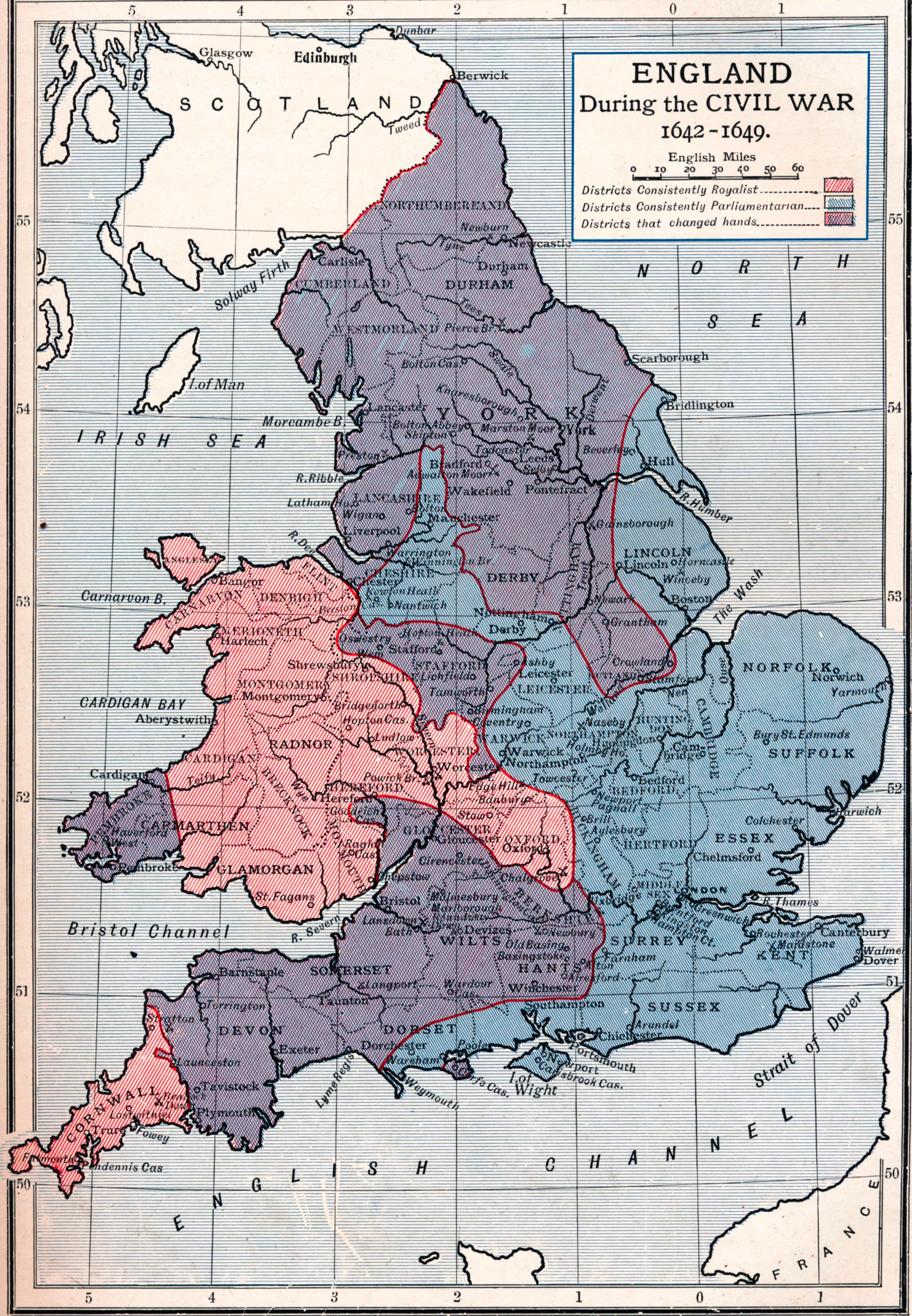
This map of England during the First Civil War shows which areas of the country were Parliamentarian and Royalist, and which areas changed hands during the war.
Image © The Cromwell Museum
The national hub for free, trusted teaching resources from cultural organisations
This map of England during the First Civil War shows which areas of the country were Parliamentarian and Royalist, and which areas changed hands during the war.
Image © The Cromwell Museum