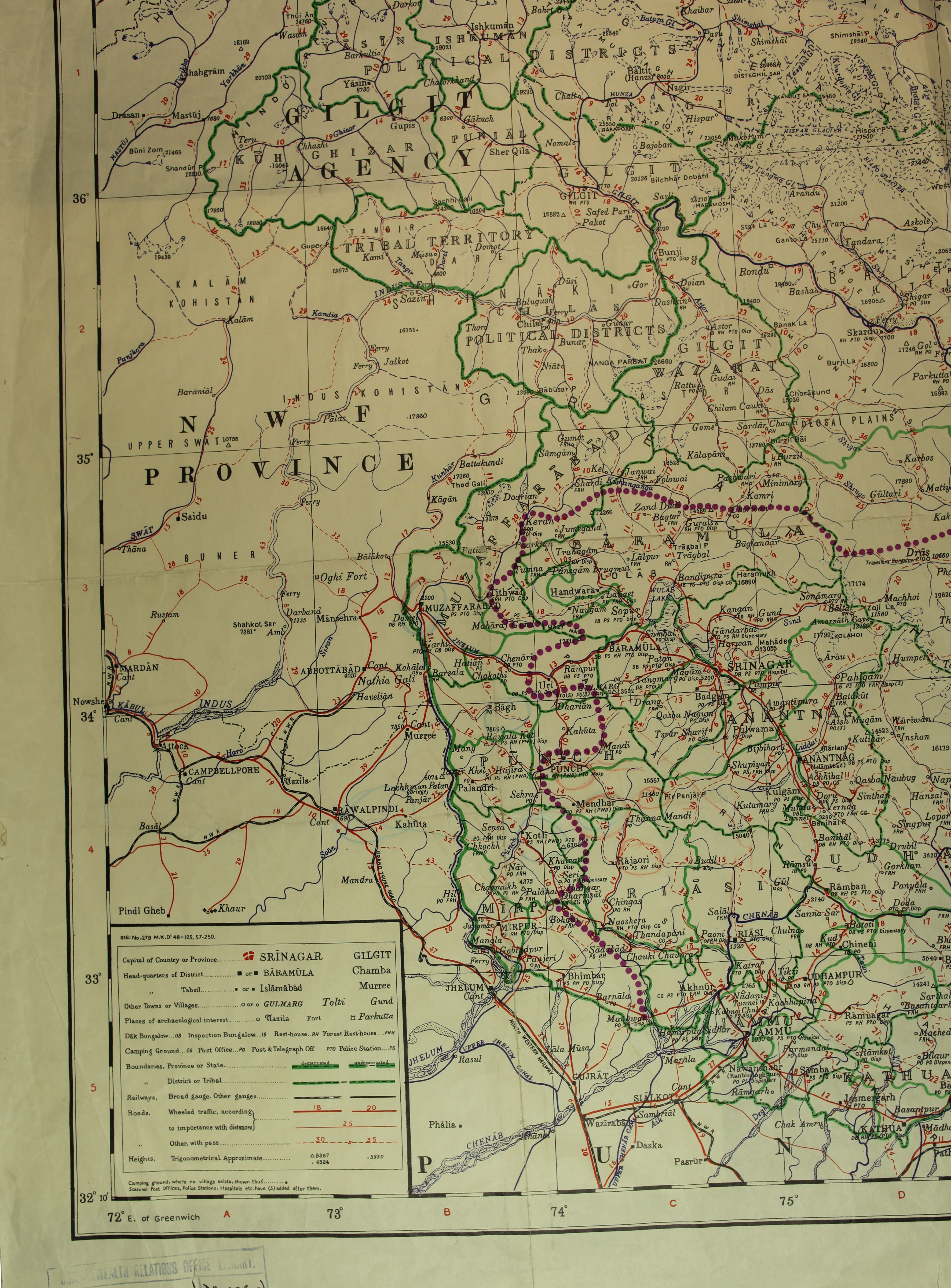
1948 Map Showing Newly Independent India and Pakistan
Map from August 1948 showing the newly independent India and Pakistan. This map was printed at the survey of Pakistan Officers. The partition of India in 1947 caused widespread upheaval and large-scale violence. The purple dots mark the approximate cease fire line between the two countries. The violence in India and Pakistan at this time was another factor driving immigration from these countries into Britain.
Document reference: CO 1054/76
Image: © The National Archives | Commonwealth Relations Office Library