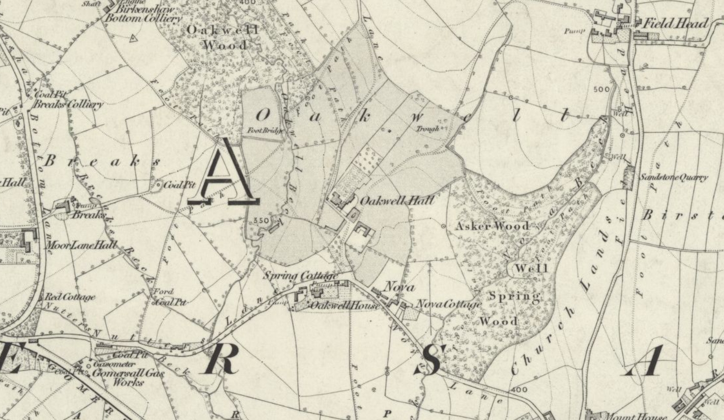
1854 Map
OS Map 1854 showing Oakwell Hall surrounded by farmland and woodlands.
Reproduced with the permission of the National Library of Scotland
Licenced: CC BY
Explore and download the full version here:
View map: Ordnance Survey, Yorkshire Sheet 232 (Batley; Cleckheaton; Dewsbury; Gomersal; Heckmondwike; Liversedge; Morley) - Ordnance Survey Six-inch England and Wales, 1842-1952